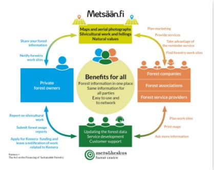
Metsään.fi надає електронні послуги лісовласникам і постачальникам лісогосподарських послуг. Онлайн-застосунок містить карти, інформацію про ліси, а також про можливості проведення лісокультурних і лісорубних заходів у кожному лісовому масиві та його кварталах.
1) Тип ґрунту та лісової ділянки
2) Запас деревостану
3) Пропозиції щодо лікування лісу на п'ятирічний період
4) Природні цінності (оселища особливого значення)
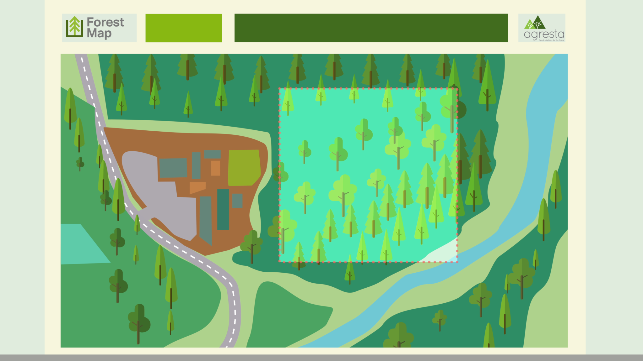
5) Останні карти та аерофотознімки з межами кварталів
6) Річний приріст.
Metsään.fi також дозволяє лісовласникам подавати заявки на отримання субсидій на покращення молодняку та повідомляти про використання лісу (наприклад, рубки) шляхом заповнення електронних бланків, замість паперових. До того ж, через систему власники лісів можуть зв’язатися з постачальниками лісових послуг. Metsään.fi досить простий у використанні і пропонує лісовласнику багато нових гнучких послуг, зокрема електронні бланки для оформлення субсидій. Це безпечна система, хоча й публічна, яка передбачає надійну ідентифікацію користувача.
Використання електронної ідентифікації Suomi.fi є безпечним і надається державою. Електронна ідентифікація Suomi.fi містить перелік ідентифікаційних токенів, наприклад, коди онлайн-банкінгу, мобільний сертифікат або сертифікаційна картка.
Фінський лісовий центр збирає та зберігає дані дистанційного зондування про лісові ресурси, зокрема приватні ліси. Metsään.fi – це безкоштовний портал, який використовує ці дані про ліси для обслуговування лісовласників і постачальників лісогосподарських послуг.
Практика показує, що він стимулює власників лісів до проведення лісогосподарських робіт і загалом до розвитку лісових господарств.