Mobilization Potential
> 100'000 m³ for Switzerland
Impact on environment & biodiversity
The cost reduction will allow new, poorly accessible areas to be developed and additional timber to be harvested.
This has a positive effect on the protective function of the forest in the mountains and it promotes adaptation to climate change.
Economic impact
Reduced installation cost, improved profitability
Job effect
Faster and saver skyline layout planing
Income effect
Improved profitability of logging in steep terrain
Specific knowledge needed
Knowledge of QGis is necessary
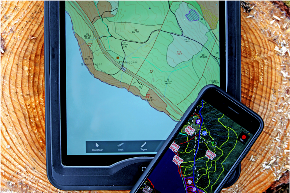
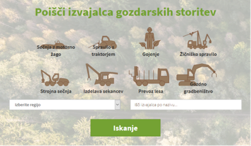
Short description
Seilaplan is a tool that supports the design of cable roads for timber harvesting. It works as a QGis-Plugin.
Project reference
Bont, L. G., Moll, P. E., Ramstein, L., Frutig, F., Heinimann, H. R., & Schweier, J. (2022). SEILAPLAN, a QGIS plugin for cable road layout design. Croat J For Eng. Bont, L. G., Ramstein, L., Frutig, F., & Schweier, J. (2022). Tensile forces and deflections on skylines of cable yarders: comparison of measurements with close-to-catenary predictions. International Journal of Forest Engineering, 1-22. https://www.dora.lib4ri.ch/wsl/islandora/object/wsl%3A30255/datastream/PDF/Bont-2022-Tensile_forces_and_defl
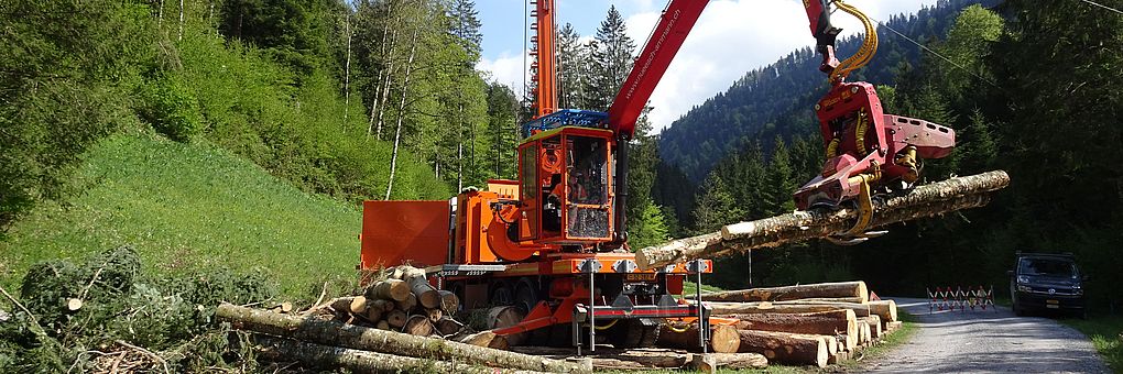
Main picture caption
Wood extraction with cable yarder
Logo of Main Organization
Ease of implementation - Evaluation
Sustainability Potential - Value
Title (national name)
Seilaplan: Cable road layout planner