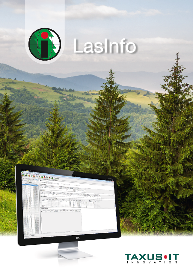
The LasInfo system is a comprehensive product consisting of several interlinked applications. It is targeted at national parks, municipal and communal forests and experimental forestry units. It provides support for forest land management and monitoring of timber harvest and sales, as well as for the implementation of tasks specified in the protection plan and nature monitoring.
The solution consists of four basic modules: the central database, the LasInfo Client application, the GIS application and the Forester’s Electronic Logbook. This allows for coordinated management of elements such as nature conservation, forest management, spatial data and cadastral data. It is possible to tailor the solution to individual users by implementing only some or all elements of the system. The shared database in turn eliminates the problem of incompatibility between different systems and data formats.
Components of the LasInfo system:
- Software: centralized database, LasInfo application, LasInfo Timber Trade application, Digital Map, Nature Monitoring, Mobile GIS.
- Devices/infrastructure: server (local or "in the cloud"), network and VPN devices, mobile devices.
Functionalities of the Lasinfo system:
- property records: cadastral records, forest inventory data;
- planning (protection tasks) system: stock surveys, creation of planning items, handling of invitations to tender, register of execution (work orders, work acceptance);
- timber sales: documentation on incoming and outgoing timber, timber contracts, timber stock, forester's logbook;
- Forest protection and silviculture documents: dead wood inventory, fire registry, regeneration assessment report, natural regeneration assessment report;
- reporting of: planned works, timber sales, work orders/executions;
- numerical map: the Digital Forest Map standard, the GIS data standard in nature conservation, nature monitoring, map reporting, mobile GIS.
The system has been rolled out in 11 Polish national parks; moreover, among the LasInfo users are forestry experimental units (Murowana Goślina, Siemianice, Rogów, Krynica-Zdrój), municipal and communal forest managers and maritime offices managing forest areas.