Descripción breve
<table border="0" cellpadding="0" cellspacing="0" style="width:483px;" width="482">
<tbody>
<tr height="76">
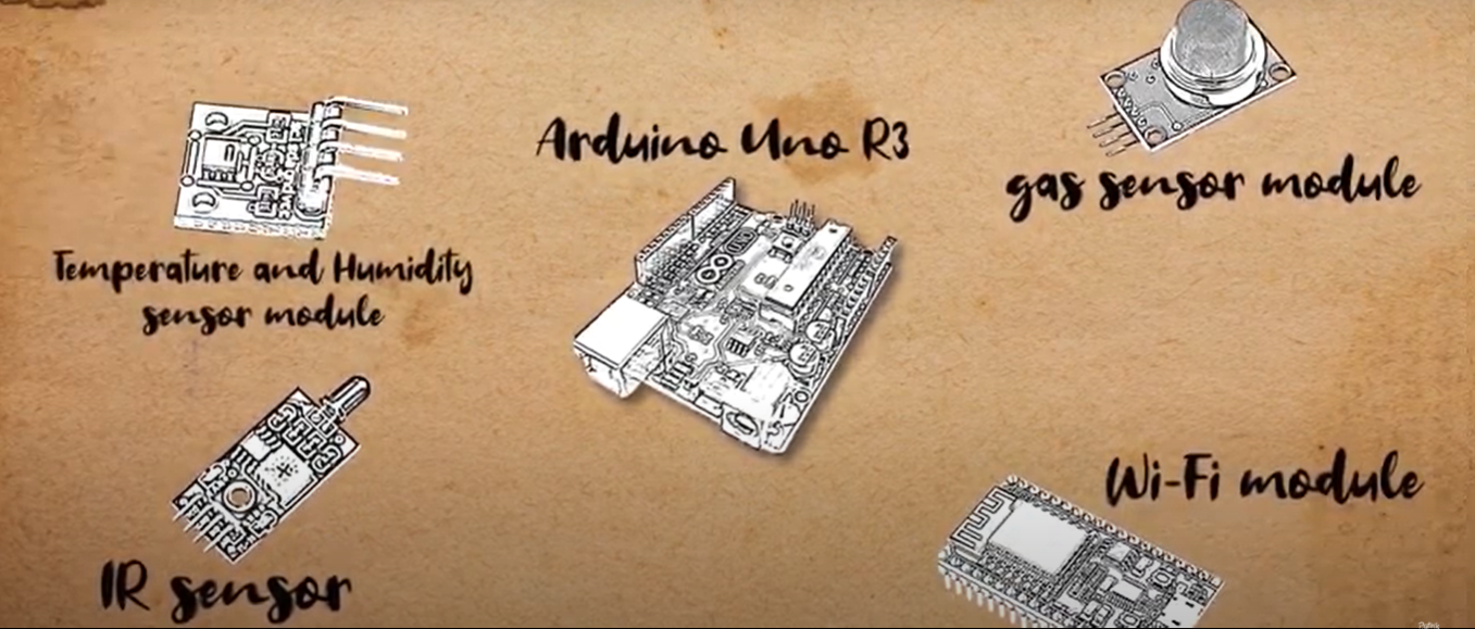
<td height="76" style="height:77px;width:483px;">DetectIT je uređaj za detekciju šumskih požara uz pomoć različitih senzora, koji putem aplikacije šalje obavijest o lokaciji na kojoj je nastao požar. </td>
</tr>
</tbody>
</table>
Título de la imagen principal
Glavne komponente DetectIT uređaja
Facilidad de implementación - Evaluación
Potencial de Sostenibilidad - Valor
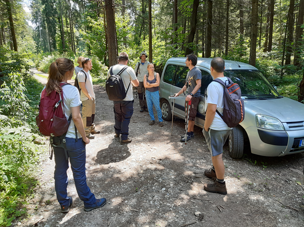
Title of the event (Study visit - T2.3)
2. studijsko putovanje Centra za jugoistočnu Europu