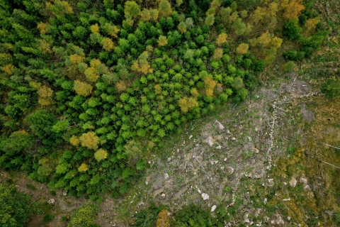
Arboair | High precision imagery for bark beetle detection
Today, the technology for identifying bark beetle attacks in the forest is largely based on manual work through visual checks of forest areas, where early attacks are almost impossible to see, while old attacks are easier to detect. Attempts have been made to identify damage attacks using satellite radar maps which give a good indication and can be seen as a complementing part to our precision analysis. Arboair Forest Mapper is a service where you analyze your images via our AI. Our model is trained on over 200 000 trees and it is verified by forest managers.
yes
1. doména (hlavná)
Inventarizácia, posudzovanie, monitoring/monitorovanie
Disturbancie/kalamity, riziká, odpoveď na katastrofu
Výskum a vývoj
Kľúčové slová
Bark beetle; detection; drones; AI
Riešená výzva
1. Zlepšenie odolnosti lesov a adaptácie na zmenu klímy
Typ riešenia
Senzory, meracie prístroje/meracie vybavenie
Digitalne riešenie
Áno
Inovácie
Áno
Krajina pôvodu
Švédsko
Rozsah aplikácie
Národný
Začiatok a koniec roka
- Hlavná webstránka
Dátum odoslania
štvrtok, 12 august, 2021 - 14:30
Projekt, v rámci ktorého bol tento informačný prehľad vytvorený
Rosewood 4.0
