Cable road layout planner
Starting point of the calculation are terrain data (digital elevation model or field measurement data in CSV format), machine and cable road properties.
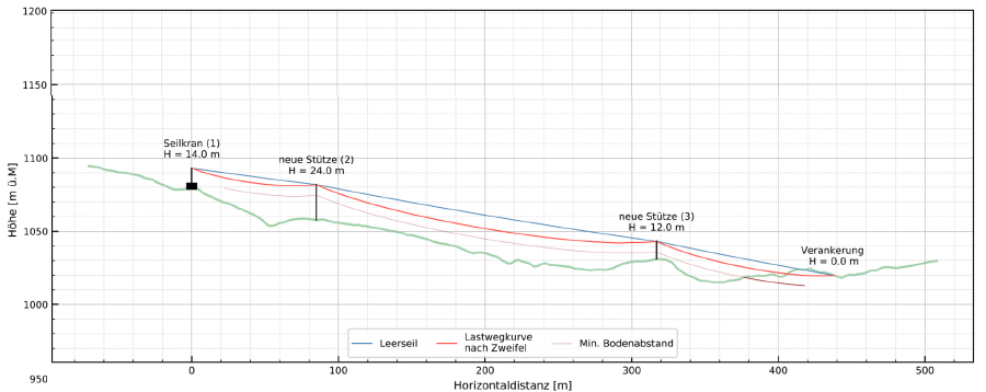
The program calculates the skyline tensile forces, the skyline sag, support saddle forces. By knowing the rope forces, critical constructions can be avoided. This increases the safety at work.
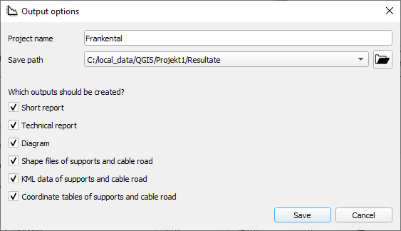
Seilaplan includes an optimization algorithm that proposes the height and location of the supports. The load path of the skyline together with the terrain profile are displayed graphically and a construction manual is generated. Coordinates and saddle height of the supports can be saved as CSV and KML data so that they are electronically available for further planning steps.
The planning of cable road layout goes much faster. The calculated routing takes advantage of the natural terrain shapes and helps to reduce overall harvesting costs in mountainous regions and steep terrain.
The cost reduction will allow new, poorly accessible areas to be developed and additional timber to be harvested.
This has a positive effect on the protective function of the forest in the mountains and it promotes adaptation to climate change.
For forest owners and forest contractors
Terrain data must be available or collected along the planned line.


