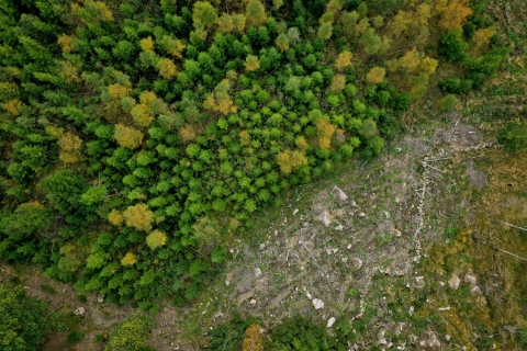
Arboair | High precision imagery for bark beetle detection
Today, the technology for identifying bark beetle attacks in the forest is largely based on manual work through visual checks of forest areas, where early attacks are almost impossible to see, while old attacks are easier to detect. Attempts have been made to identify damage attacks using satellite radar maps which give a good indication and can be seen as a complementing part to our precision analysis. Arboair Forest Mapper is a service where you analyze your images via our AI. Our model is trained on over 200 000 trees and it is verified by forest managers.
yes
hoveddomene
Inventering, vurdering, overvåking
Skogskader, risiko, katastrofeberedskap
Forskning og utvikling
Nøkkelord
Bark beetle; detection; drones; AI
Utfordring adressert
1. Forbedre skogens robusthet og tilpasningsevne til klimaendringer
Type løsning
Sensorer, måleinstrumenter
Digital løsning
Ja
Innovasjon
Ja
opprinelsesland
Sverige
Potensiale
Nasjonal
Start og slutt år
- Hjemmeside (hovedside)
Innleggsdato
Torsdag, 12 august, 2021 - 14:30
Prosjekt som dette faktaarket er opprettet under
Rosewood 4.0
