Inventories

Griechisch
Innovation
Yes
E-Mail des Eigentümers oder Autors
Voting
0%
Startjahr
2016
Endjahr
2017
Titel (Abkürzung)
FORCIP+
Kurze Beschreibung
<table border="0" cellpadding="0" cellspacing="0" style="width:252px;" width="252"> <tbody> <tr height="95"> 
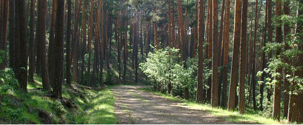
<td height="95" style="height:95px;width:252px;">Το έργο στοχεύει στη βελτίωση της χρήσης του αγροτικού οδικού δικτύου σε περίπτωση έκτακτης ανάγκης, ιδίως δασικών πυρκαγιών.&nbsp;</td> </tr> </tbody> </table>
Digitale Lösung
Yes
Zusammenfassung

Μέσω της διακρατικής συνεργασίας θα είναι προσβάσιμο ένα ευρύ φάσμα καταλόγων υφιστάμενων οδικών υποδομών, θα ικανοποιούνται διαφορετικές απαιτήσεις και θα δημιουργηθεί ένα ομοιογενές μοντέλο.
Οι εφαρμογές ΤΠΕ θα αναπτυχθούν για τη βελτίωση της αποτελεσματικότητας της χρήσης και θα προτείνουν βελτιώσεις στη συντήρηση
Τα δασικά πυροσβεστικά οχήματα θα είναι εξοπλισμένα με δέκτες GNSS προκειμένου να βελτιωθεί η απόκριση του χρόνου και να αυξηθεί η εξοικονόμηση καυσίμου.
Οι ειδικοί της πυρκαγιάς θα μπορούν να χρησιμοποιούν την ανάλυση δικτύου για τον προγραμματισμό πόρων, να εντοπίζουν τα πιο κατάλληλα μέρη για εδάφη σημαίνει χώρους αναμονής ή να εντοπίζουν επιφάνειες δασών όπου απαιτείται περισσότερος χρόνος για πρόσβαση.
Άλλοι παράγοντες που εμπλέκονται σε καταστάσεις έκτακτης ανάγκης θα μπορούν να χρησιμοποιούν εφαρμογές διαχείρισης ιστού και δημόσιες πληροφορίες. 
Eigentümer oder Autorenorganisation
Laboratory of Photogrammetry and Remote Sensing, Aristotle University of Thessaloniki
Name des Eigentümers oder Autors
Petros Patias
Hauptbild
BP - Rosewood - V1
NO
Herkunftsland
Griechenland
Titel (nationaler Name)
Δασικοί δρόμοι για πολιτική προστασία
Projekt, in dessen Rahmen dieses Factsheet erstellt wurde
Hat Video
no
Englisch
Innovation
Yes
E-Mail des Eigentümers oder Autors
Voting
0%
Startjahr
2016
Endjahr
2017
Titel (Abkürzung)
FORCIP+
Kurze Beschreibung
<table border="0" cellpadding="0" cellspacing="0" style="width:361px;" width="361"> <tbody> <tr height="95"> <td height="95" style="height:95px;width:361px;">The project aims at improving the use of the rural road network in case of emergency, especially forest fires. ​</td> </tr> </tbody> </table>
Digitale Lösung
Yes
Zusammenfassung

Through transnational cooperation a wide range of inventories of existing road infrastructure will be accessible, ​ different requirements will be met and a ​ homogeneous model will be established. ​ ICT applications will be developed to improve the efficiency of use and​ propose improvements on the maintenance​ ​Forest fire fighting vehicles will be equipped with GNSS receivers in order to improve time response and increase fuel savings.​ ​Fire specialists will be able to use network analysis for resources planning, locating most suitable places for ground means waiting areas or identifying forest surfaces where takes longer to access. ​ ​Other actors involved in emergencies will be able to use web management applications and public information.

Eigentümer oder Autorenorganisation
Laboratory of Photogrammetry and Remote Sensing, Aristotle University of Thessaloniki
Name des Eigentümers oder Autors
Petros Patias
Hauptbild
Hauptbildunterschrift
Forest Roads for Civil Protection is a european project that aims at protecting forests from fires. ​
Logo der Best Practice
Logo der Hauptorganisation
BP - Rosewood - V1
NO
Herkunftsland
Griechenland
Titel (nationaler Name)
Δασικοί δρόμοι για πολιτική προστασία
Projekt, in dessen Rahmen dieses Factsheet erstellt wurde
Hat Video
no
Englisch
Innovation
Yes
E-Mail des Eigentümers oder Autors
Voting
0%
Titel (Abkürzung)
FORCIP+
Kurze Beschreibung
<table border="0" cellpadding="0" cellspacing="0" style="width:361px;" width="361"> <tbody> <tr height="95"> <td height="95" style="height:96px;width:361px;">The project aims at improving the use of the rural road network in case of emergency, especially forest fires. ​</td> </tr> </tbody> </table>
Digitale Lösung
Yes
Zusammenfassung

Through transnational cooperation a wide range of inventories of existing road infrastructure will be accessible, ​ different requirements will be met and a ​ homogeneous model will be established. ​
ICT applications will be developed to improve the efficiency of use and​  propose improvements on the maintenance​
​Forest fire fighting vehicles will be equipped with GNSS receivers in order to improve time response and increase fuel savings.​
​Fire specialists will be able to use network analysis for resources planning, locating most suitable places for ground means waiting areas or identifying forest surfaces where takes longer to access. ​
​Other actors involved in emergencies will be able to use web management applications and public information.
Eigentümer oder Autorenorganisation
Laboratory of Photogrammetry and Remote Sensing, Aristotle University of Thessaloniki
Name des Eigentümers oder Autors
Petros Patias
Hauptbild
BP - Rosewood - V1
NO
Projekt, in dessen Rahmen dieses Factsheet erstellt wurde
Hat Video
no