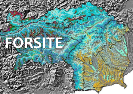
FORSITE | Dynamic ecological forest site classification
A lack of forest site information in Styria created a need for a new approach to forest site classification and mapping, considering the changing climatic conditions, which will affect the classification of forest sites and the choice of tree species. Theoretical concepts for a new approach in "dynamic site classification" existed, but the implementation of an integrated site and forest classification in for the whole forest area in Styria has been a scientific challenge. In this project the forest site classification is based on a GIS-based geo-ecological stratification model. The database is based on a digital elevation model, a geological base map, digitally available site and climate data as well as empirical site parameters. A map of forest types is derived based on several thematic maps, including information about energy, water and nutrient balance. Those parameters are modeled on the basis of point and area related data, which are then combined into forest types with a uniform combination of factors. The model allows a stratification of the forest types on all sites based on digital geo-ecological parameters. In addition to the ecological facts, each forest type is characterized by a description of silvicultural guidelines containing information on the appropriate choice of tree species, potential hazards and adaptation methods. These guidelines also describe previous experiences with the tree species and their mixtures, and will provide recommendations for the future forest management with regard to climate change.


